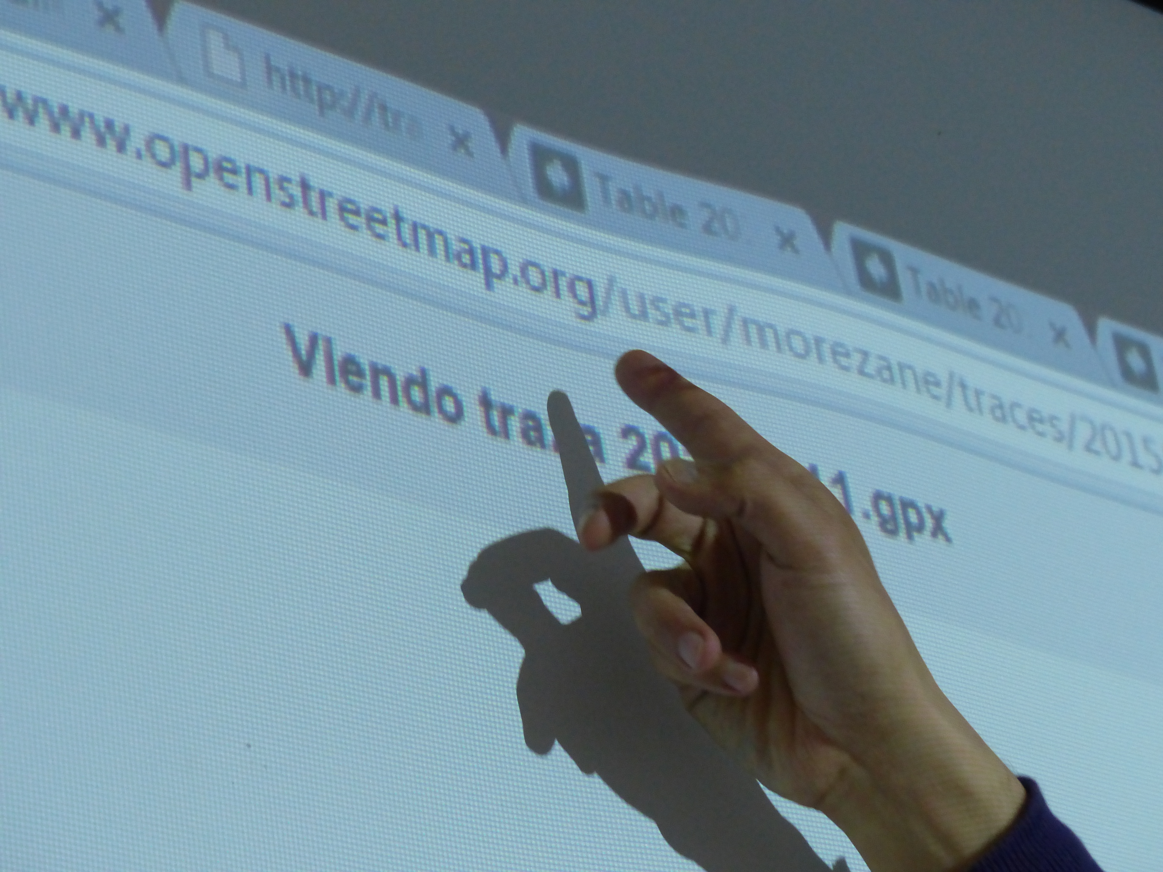
Within this exercise we experiment with creating maps using our movements and tracings throughout Bogota. We first extract data collected with GPS devices (our mobile phones) and then import them into Cartodb in order to create maps of places that we have been in the city.
Link to tutorial:
https://docs.cartodb.com/tutorials/gps_track.html
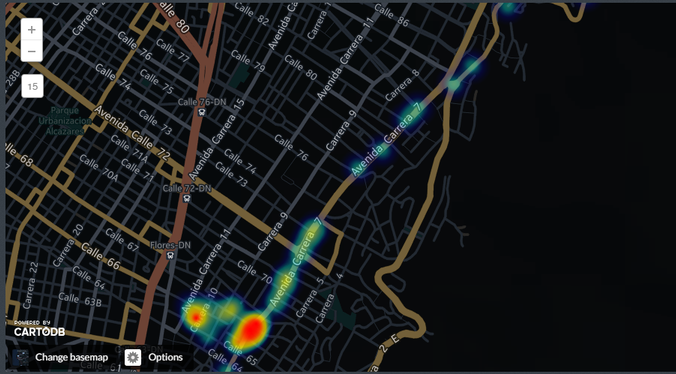
El mapa interactivo que se construyó en el ejercicio se alojaba en una cuenta de CartoDB (programaanda.cartodb.com) que la plataforma retiró años después, por lo que ya no es posible verlo en línea.